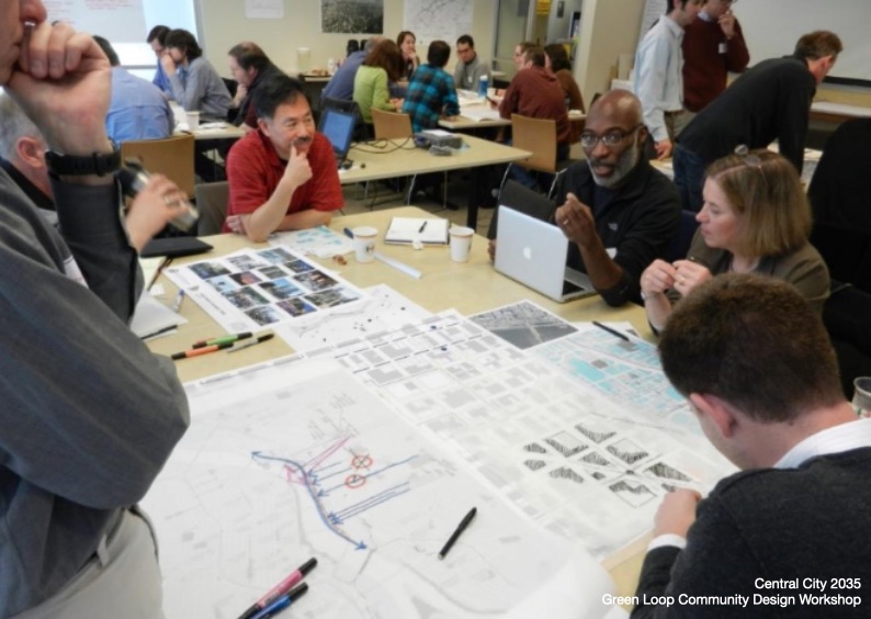
The idea for the Green Loop emerged from community conversations about the future of Portland’s Central City. Early planning for what would become the Central City 2035 Plan began around 2010 on a series of topics such as housing, employment, historic preservation, the Willamette River and urban design. There were several conversations on urban design that brought different members of the community together to talk about the Central City’s places, its streets and what was working, what wasn’t and new ideas that should be considered when looking ahead for the next 25 years.
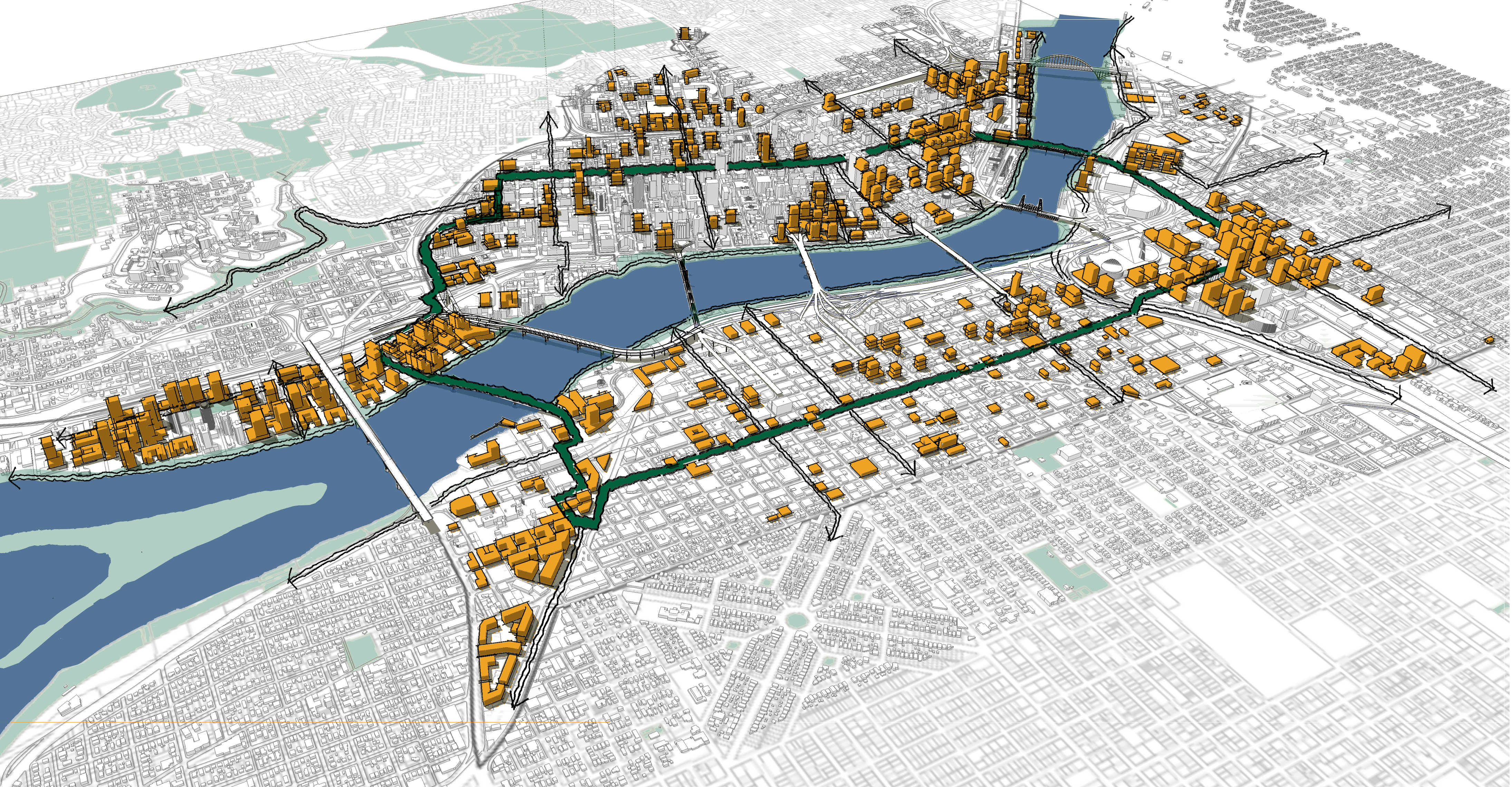
At the time in the early 2010s, there were several projects being planned locally and a new type of public space project being implemented in multiple cities nationally. In Portland, planning and design work were underway for both Trimet’s Tilikum Crossing bridge and the Portland Streetcar loop. The alignments had been generally determined for both efforts and when laid out on maps they created a new structure that linked the two sides of the Willamette River.
Nationally, new linear park projects were being planned, designed and built in New York, Atlanta and Indianapolis among others. The High Line, Beltline and Cultural Trail were new, green corridors encouraging walking, rolling and biking that offered new ways for people to engage with the respective city. These spaces were seen as not just transportation corridors – they were ways to support the different communities through which they traveled, offering localized spaces to gather, relax, recreate or generate economic activity.
Looking at the park blocks in downtown Portland and the alignment(s) for the aforementioned transit projects, the Green Loop would be able to travel through “four corners” that hadn’t developed as anticipated during the last planning effort from the late 1980s. The so-called four corners included the US Post Office site in the Pearl/Old Town; a part of south downtown near Portland State University; and on the east side the areas around OMSI and in the Lloyd/Albina/Rose Quarter. Using the Tilikum Crossing at its southern end and shadowing the planned streetcar loop about a block or two away, the Green Loop would offer another option for residents, workers and visitors to be in downtown Portland, offering easy, safe and comfortable connections to multiple cultural attractions and regional destinations.
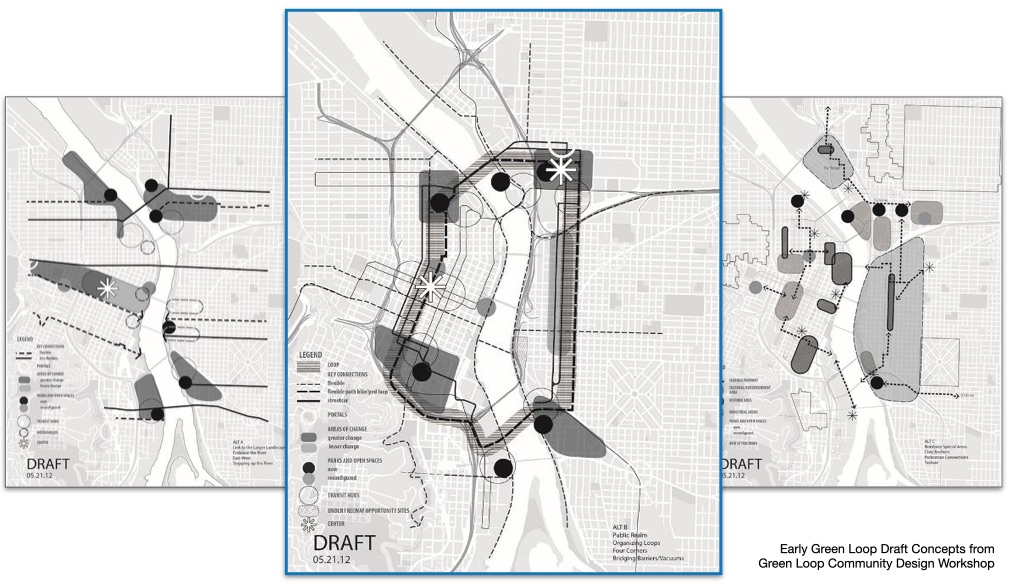
As planning for the Central City 2035 Plan progressed and more elements of the plan were brought forward for public comment and discussion, the Green Loop began to garner attention and growing interest. Initially talked about in discrete segments, questions about the larger alignment and its envisioned character necessitated more investigation about alignment alternatives, its design elements and how it might be implemented. Early concept reports described these options and ideas and included project goals, potential user groups and illustrative renderings of what the project might look like.
Starting in 2014 the Green Loop started getting picked up by different organizations and community groups for events, conferences and other activities. Early partners with the project included Toole Design Group and the New Partners for Smart Growth Conference, Oregon Walks, Portland State University’s Institute for Sustainable Solutions, Sunday Parkways, the American Society of Landscape Architects, the Pacific Northwest College of Art and Young Professionals in Transportation. The scope and freshness of the project appealed to both established Portlanders as well as newer groups and organizations made up of younger people interested in the future of their city.
In 2016 the Green Loop was identified as the keystone project for Design Week Portland, an annual event that highlights, celebrates and disseminates design in Portland. In partnership with the University of Oregon’s John Yeon Center (fmr.), the Green Loop was the focus for an international design competition that ended up attracting over 40 entries from 8 countries, describing how different segments of the project could look, feel and knit themselves into the fabric of the city. Untitled Studio, a group of young designers from Portland, Seattle and San Francisco, were selected as the winners of the competition envisioning the Green Loop as a mosaic offering experiences for people at different scales – that of the neighborhood, city and region.
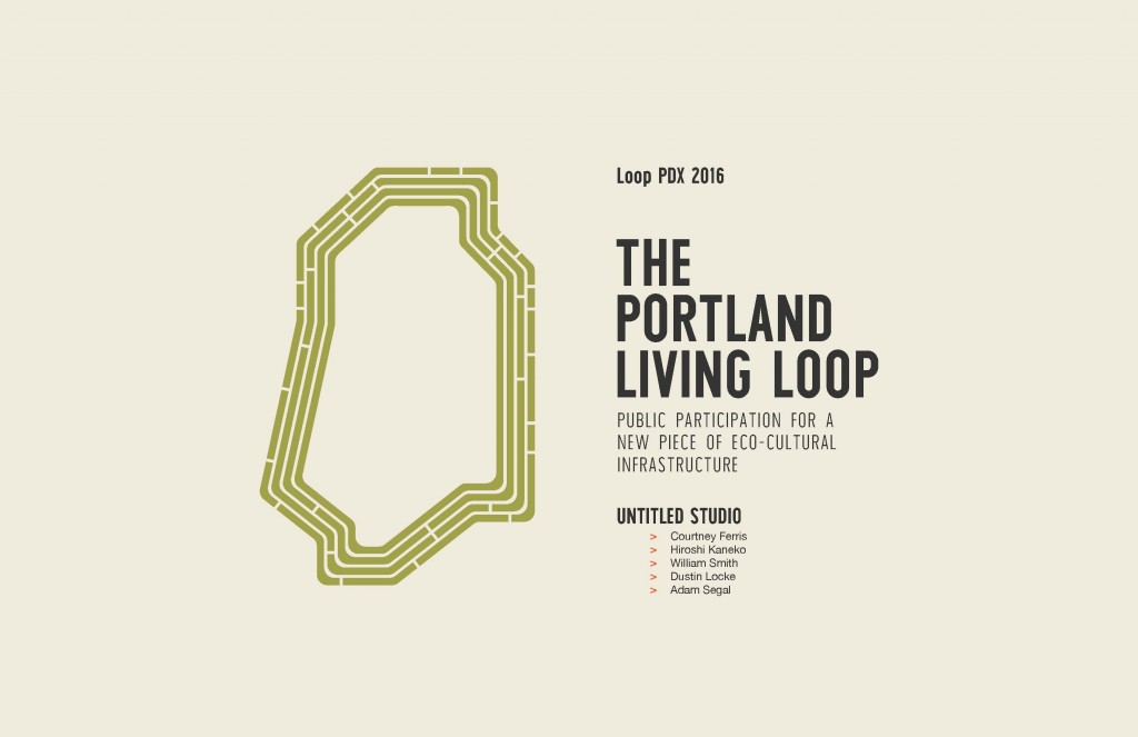
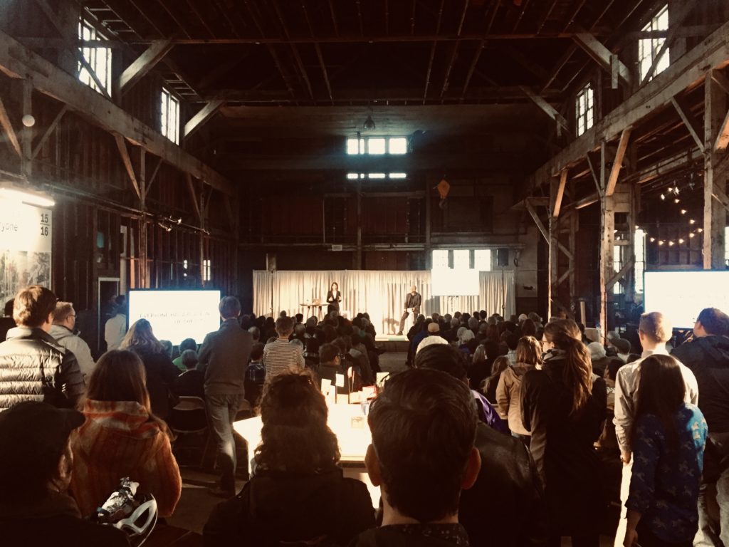
In 2017 Untitled Studio and Design Week Portland hosted a week-long public exhibition on the Green Loop at the Redd on Salmon Street, an old warehouse on the east side of the river. The exhibition attracted several thousand visitors and engaged them through art and design workshops, panel discussions, university classes and reviews, radio shows, parties and interactive displays on the Green Loop. A full scale mock-up of the Green Loop as envisioned by Untitled Studio was built on the adjacent street outside.
By 2018 the Central City 2035 Plan was nearing adoption. By this time, the Green Loop was becoming embedded in the planning and design (and subsequent construction) for numerous public and private development projects, including the Broadway Corridor/USPS site, the Earl Blumenauer Bridge, Central City in Motion, the I-5 Rose Quarter Improvement Project, the South Park Blocks Master Plan, the Culinary Corridor, the OMSI Master Plan and the “Block 216” redevelopment among others. Ongoing design work will develop a consistent set of standards and performance criteria to be applied to all segments of the loop, ensuring that there is design consistency around the 6-mile length and flexibility for local improvements and character.
